UK Weather Forecast: Mild, Breezy Conditions Across Britain With Heavy Rain Arriving in Northwest – Monday, 12 October 2026
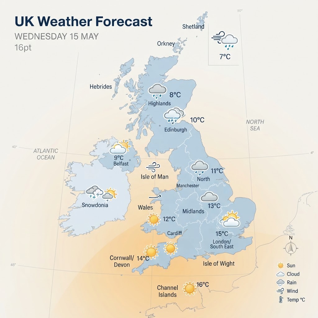
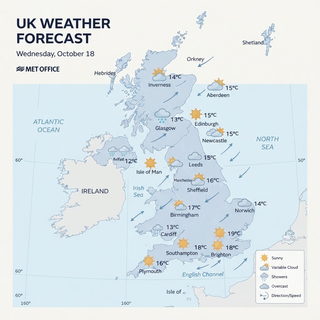
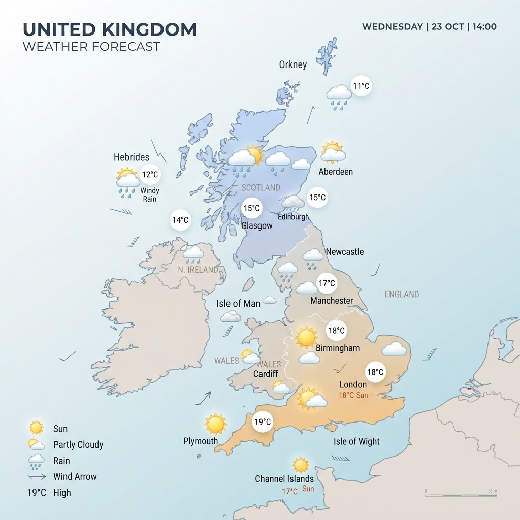
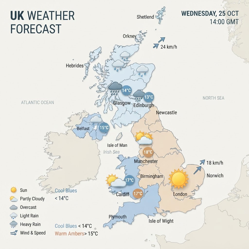
Monday brings an unseasonably mild and breezy autumn day across most of the UK, with temperatures reaching up to 17°C in parts of England. However, cloud will gradually thicken from the west, leading to heavier outbreaks of rain sweeping into Northern Ireland and northwestern Scotland later in the day.
Overall UK Weather Picture: Mild and Breezy Autumn Start
The UK starts the new working week under the influence of an Atlantic-driven south to south-easterly airflow. According to national meteorologists at the Met Office, today will generally be mild and breezy, though a noticeable band of cloud and heavier frontal rain is set to push into the northwest into the afternoon and evening.
For central, southern, and eastern districts, modern high pressure to the southeast keeps conditions mostly dry under broken cloud cover, though sporadic patchy drizzle cannot be ruled out later in the day.
Regional Breakdown
England
England experiences a relatively overcast but mild Monday. Highs will hover between 15°C and 17°C across southern and central areas, including London and Birmingham, while northern counties can expect values near 14°C to 15°C. Winds will remain light to moderate from the south-southeast at 10 to 15 mph, occasionally gusting around 20 to 25 mph along coastal fringes. The daytime will be largely dry, though low cloud may produce localized drizzle over higher ground.
Scotland
Scotland faces a stark divide today. Eastern parts around Aberdeenshire and the Lothians will enjoy mostly dry spells with temperatures reaching 12°C to 14°C. Further west, particularly across the Highlands and Western Isles, cloud will thicken markedly through the morning, followed by strengthening winds of 15 to 25 mph and outbreaks of persistent, heavy rain arriving through the late afternoon.
Wales
Wales will see predominantly overcast skies with occasional hill fog across Snowdonia and the Brecon Beacons. Temperatures are forecast to peak between 14°C and 16°C. Winds from the south will blow at around 12 to 18 mph, bringing in mild, moisture-laden air that may trigger isolated light showers along exposed western coastlines later in the evening.
Northern Ireland
Cloud cover will remain thick over Northern Ireland throughout Monday. Rain will spread steadily eastwards by mid-afternoon, accompanied by a fresh southerly breeze blowing at 15 to 20 mph with higher gusts along exposed coasts. Peak temperatures will reach 13°C to 15°C before the main frontal band pushes through.
Wind & Precipitation Summary
- Wind Speeds: South to south-southeasterly winds averaging 10 to 20 mph across most inland regions, freshening to 25 to 35 mph gusts around western coasts and higher terrain.
- Rainfall: Largely dry across central, southern, and eastern Britain during daylight hours. Northwest Scotland and Northern Ireland will see localized rainfall accumulations of 10 to 20 mm later today into tonight.
Warnings and Notable Events
There are no severe Met Office weather warnings currently active for Monday. However, motorists and ferry passengers in the northwest should be mindful of reduced visibility on higher routes and choppy sea conditions caused by increasing coastal gusts later today.
24 to 48-Hour Outlook
Heading into Tuesday, 13 October, the frontal rain band will track southeastwards across England and Wales, weakening into a spell of morning showers followed by clearing skies and slightly warmer highs near 18°C to 20°C in the southeast. By Wednesday, a brief ridge of high pressure will bring largely dry, bright conditions with lighter winds before the next Atlantic system approaches towards the end of the week.