UK Weather Forecast: Mild and Largely Dry Today Ahead of Approaching Atlantic Front – Wednesday, 14 October 2026
Wednesday brings a settled, largely dry day across the UK with pleasant sunny spells and unseasonably mild highs of up to 19°C in the south. Cloud will thicken from the west through the afternoon as breezes freshen ahead of incoming Atlantic rain systems. No severe weather warnings are currently in force, though unsettled conditions are set to arrive over the next 48 hours.
Overall UK Weather Picture
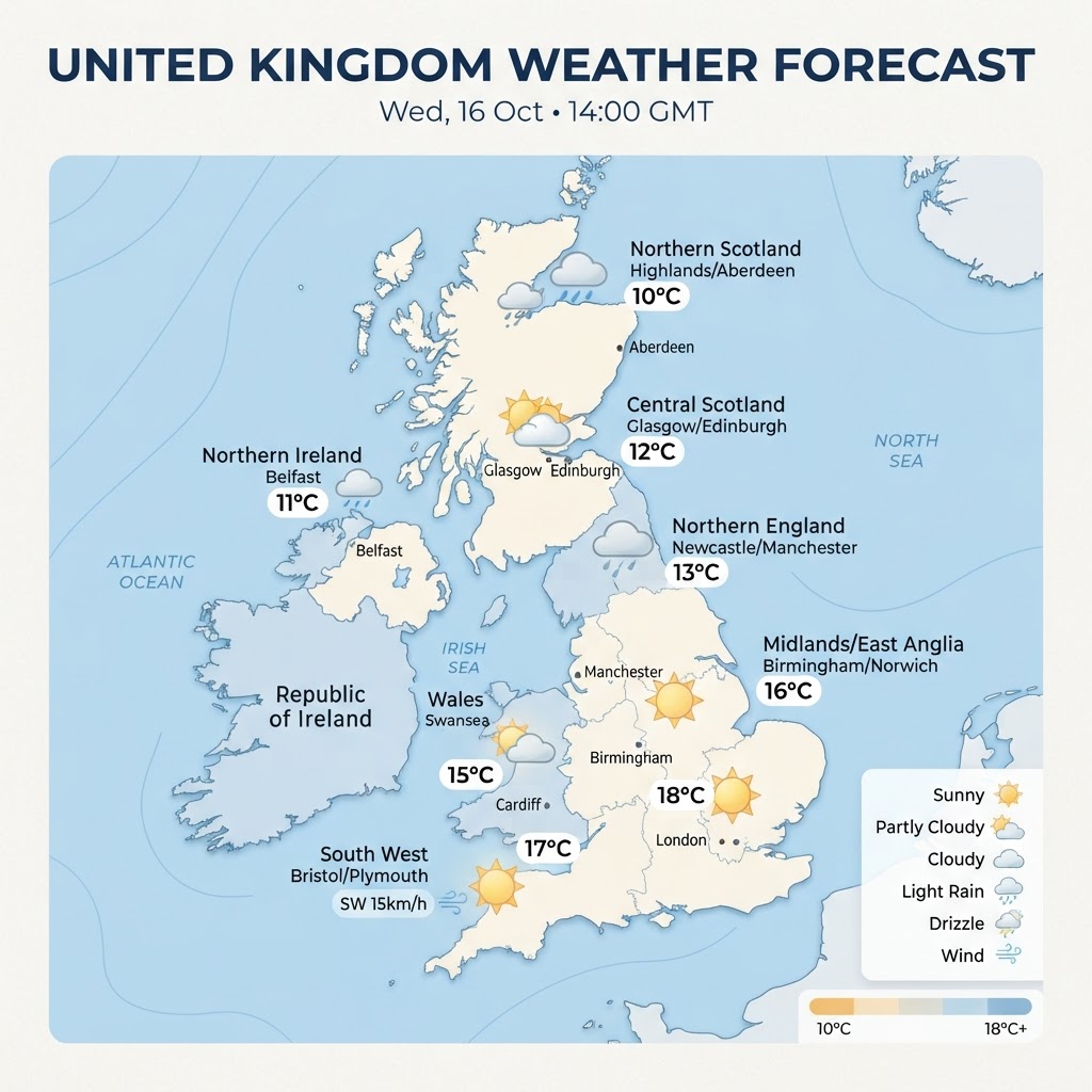
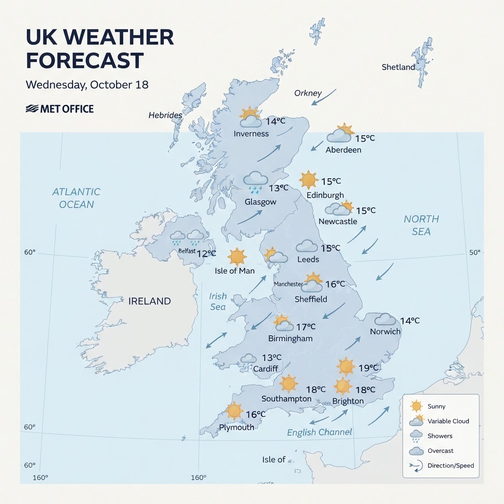
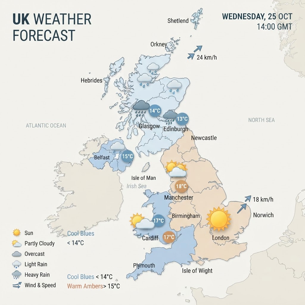
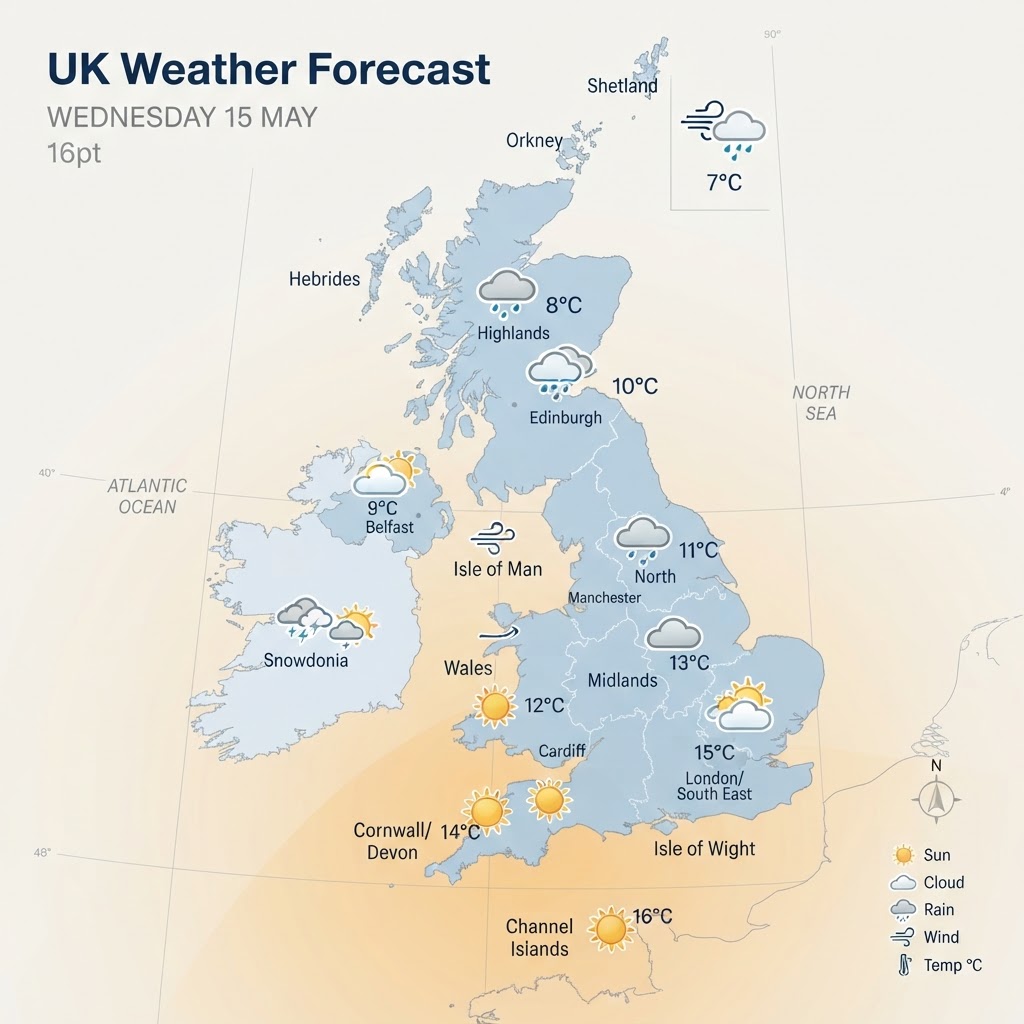
The United Kingdom enjoys a largely calm and dry midweek pause today, Wednesday 14 October 2026. Following a cool and crisp start in rural areas with local mist patches, cloud will build steadily from the west through the day. Southwesterly airflows ensure afternoon temperatures remain mild for mid-October, reaching peaks of 17°C to 19°C across central and southern districts, with a gentle to moderate breeze dominant nationwide.
Regional Breakdown
England
After a chilly dawn, England will experience a dry day with bright spells, particularly across eastern and south-eastern counties. Southern England and Greater London will see the warmest conditions, climbing to 18°C–19°C. Cloud will thicken across northern and western parts of England by late afternoon, accompanied by south-southwesterly winds of 6 to 12 mph, gusting up to 22 mph.
Scotland
Scotland starts dry with bright intervals across the east, while western Highlands and coastal areas see increasing cloud cover. Maximum temperatures will range from 12°C in the far north to 15°C in the Central Belt. Winds from the southwest will remain moderate at 10 to 18 mph, with patchy light drizzle possible over exposed western hills by late evening.
Wales
Wales will observe a predominantly cloudy but largely dry day. Breaks in the cloud could allow brief sunny intervals, primarily in the east. Daytime highs will settle between 14°C and 16°C. Winds will remain light to moderate from the south-southwest at 8 to 15 mph, picking up slightly along coastal fringes towards dusk.
Northern Ireland
Northern Ireland sits closest to approaching Atlantic moisture, bringing overcast skies throughout the afternoon. Conditions remain largely dry for the daytime hours, with patchy light rain or drizzle arriving towards nightfall. Afternoon temperatures will peak around 14°C to 15°C, with southerly winds averaging 10 to 16 mph.
Temperatures, Winds, and Precipitation
Today's weather parameters across the nation include:
- Temperature Ranges: Maximum temperatures between 12°C in northern Scotland and up to 19°C across London and southern England. Overnight lows will hold mild at 10°C to 14°C under cloud cover.
- Wind Conditions: South to southwesterly breezes generally between 5 and 15 mph, with occasional coastal gusts reaching 20 to 25 mph.
- Rainfall Outlook: Dry for the vast majority of the UK through daytime hours, with precipitation risk under 10% for central and eastern regions before light rain approaches western extremities overnight.
Weather Warnings and Notable Events
There are currently no National Severe Weather Warnings in force from the Met Office for the UK. Travel disruption is not anticipated during daytime hours, though motorists should take care during early morning hours where isolated shallow mist or fog patches develop.
Next 24 to 48 Hours Outlook
Thursday will remain mild but increasingly cloudy as an Atlantic weather front slowly edges eastwards, bringing outbreaks of rain to western and northern regions by Thursday night. By Friday, the frontal band clears southeastwards, introducing a cooler, fresher northwesterly airflow with sunny intervals and scattered showers into the weekend.