Edit Article



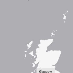


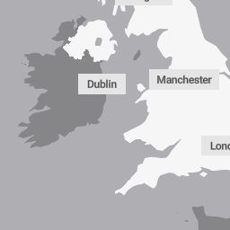


Warning map image credit: MET Office (metoffice.gov.uk)
Yellow Weather Warning for Strong Winds in Force
The Met Office has issued a yellow severe weather warning for wind affecting parts of Scotland. Strong south to southwesterly winds are sweeping across exposed coastal communities and high ground, bringing potential disruption to transport links and utilities.
Regions and Areas Affected
The active warning covers regions across western and northwestern Scotland, specifically:
- Highland
- Na h-Eileanan Siar (Western Isles)
Timeframe and Validity
The yellow warning took effect earlier today at 10:00 UTC+1 on Wednesday, 14 October 2026, and remains active until 19:00 UTC+1 this evening. Winds are forecast to gradually ease from the west during the late afternoon and early evening hours.
Expected Impacts
Forecasters warn that widespread wind gusts of 50 to 60 mph are likely across the warning zone, with exposed coastal areas and high ground experiencing severe gusts of up to 70 mph. The public should expect:
- Delays to road, air, and ferry services, with ferry cancellations possible on western routes.
- Disruption to bus and train timetables, resulting in longer travel times.
- Delays and restrictions for high-sided vehicles crossing exposed routes and bridges.
- Potential short-term loss of power and interruptions to other local services.
Safety Advice and Precautions
Travellers are urged to check road conditions, ferry statuses, and public transport schedules before setting out, and to delay or alter journeys if necessary. Drivers of high-sided vehicles should take extra caution on exposed roads. Residents are advised to prepare for potential power outages by keeping torches, batteries, and charged mobile power packs readily accessible.
Synoptic Weather Context
The severe conditions are being driven by an unsettled Atlantic weather system pushing brisk frontal winds into the northwestern British Isles, contrasting with milder and drier spells across central and southern parts of the UK.
Use the 📷 image button in the toolbar to insert photos into your article.
Leave blank to use the current time when publishing.